Scouting New Ground Before the Season
A daytime access walk can turn an unfamiliar Colorado area into a clear, respectful plan before the season begins.
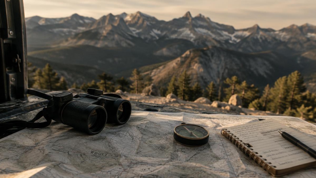
While a new area may look simple enough on a map and easily accessible until roads, fences, and individual parcels with rough walking areas are noted, a single daytime access walk prior to the season can clear up all of the ordinary logistics of access to ensure that you arrive prepared, remain oriented, and depart in as good shape as you found it. To illustrate this concept, follow along with Jordan who has planned a visit to an unfamiliar area of Colorado to access a single permitted parcel and to survey possible routes for future access. Note that the goal here is not to pursue any kind of target but rather to arrive prepared, remain oriented, and depart in good shape.
Start with a map that answers practical questions
You should create your map and mark the permitted property and the closest roads and parking areas. You should also note the best access route from your vehicle to the start of your walk. For a phone map, download an offline map or bring a paper copy in case you lose signal. Compare the maps to determine the legal access to the property, the public roads, private driveways, and trails on the property, and how they relate to each other and to the boundaries of property and managing agencies.
Is the legal access to the property where you have been granted permission to visit located at the beginning of the access route? Are all roads depicted on the map open to public access? Does a trail cross a boundary to another ownership’s property? Is the route you will be following a maintained road, private driveway, or an unimproved path?
Confirm boundaries before leaving the vehicle
Again, Jordan goes to the property entrance for his vehicle and checks his map against the signs, fences, gates, etc. He will check against the boundary (fence line) as indicated on his map, but he will also verify the boundary by checking against natural features (e.g. a change in slope, etc.). There may be differences between the physical features on the ground and what the map shows.
Property lines are often difficult to determine in the field. A good rule of thumb is to take pictures of reference points (such as a fence post corner) only if appropriate and record proximal landmarks in simple language (e.g. the big bend in the road up ahead, the large single pine tree near the corner of the fence, where the well-worn trail ends at the property line). If you are unable to determine a property line, it is best to stop and verify the information with the landowner, or manager, or refer to other authoritative sources of information for the area.
Use the walk to learn the route, not to cover ground aggressively
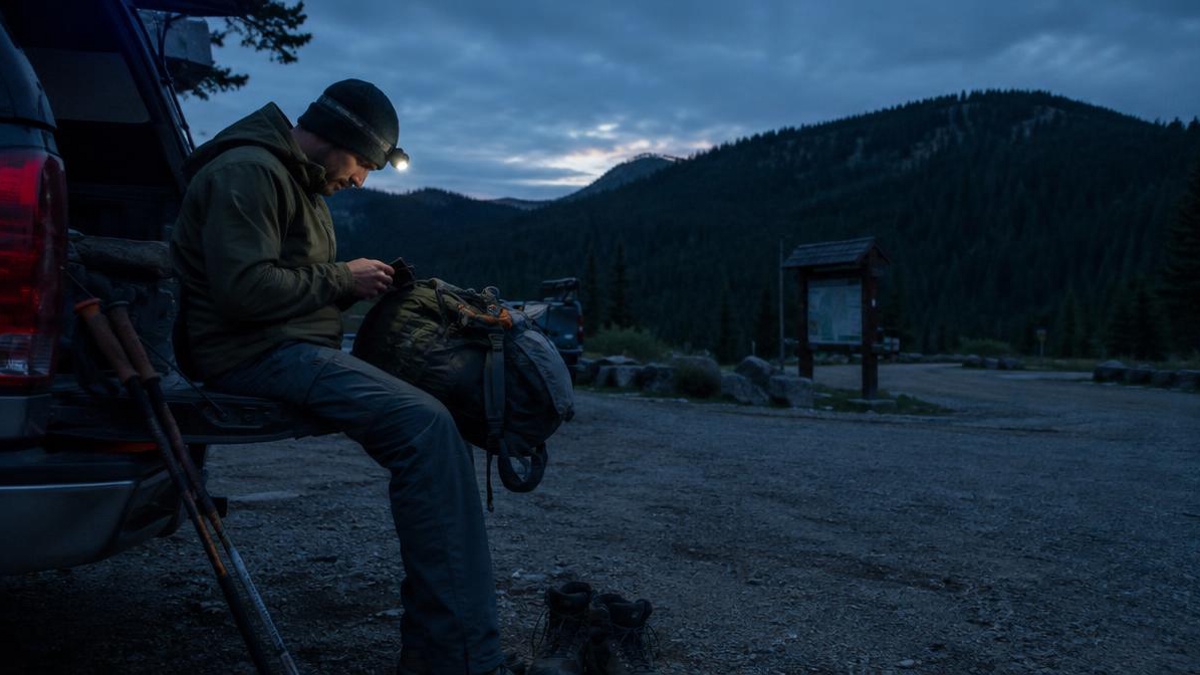
Take an easy paced “hike” down the access route to observe the route for Uneven Footing, Drainage Cuts, Loose Rock, Downed Trees and difficult turning spots for a loaded pack. Note the route narrows, it is a dead end and cannot be reversed by a vehicle. Also, take note of the return route in case you are out later in the day and it gets dark. Remember that route conditions change with the seasons and can be different from your map.
These kinds of observations are best made in person, though. A route that can be hiked may not be able to support the approach of a vehicle. A seemingly short route to a trailhead may actually have lots of up and down, or many stream crossings. And all of these will change with the seasons, so your notes should be viewed as good for only one time, i.e., for planning your one time trip.
Make parking and route notes easy to use later
Write down simple notes to refer back to later. Write down where you parked your car, what route you went on, what turns you made, what gates you went through, etc. Write down any notable items such as a reminder to stop at a certain point if you are not sure where you are going on the route. Write down these notes in a small notebook and on your phone so that you have them in case something happens to your notebook.
Don’t block gates, driveways, turn-arounds, mailboxes or equipment accesses. Park in the designated area for parked vehicles rather than on the side of the road. Make sure the vehicle is locked and that all valuables have been removed before you head out on your access walk. Note the route for return in as many formats as possible (e.g. a hand-written note in a notebook and on your phone).
Leave access better than you found it
Treat all property with respect whether on trail or off. Close gates as you found them, avoid cutting through backyards or work areas, and keep a safe distance from livestock, crops, equipment and facilities that have been clearly posted as off limits. Remove all food packaging and small trash items and carry out anything that was brought to the trail head.
Consider following up with the grantee for any useful observations. The plan can be updated for any subsequent changes to the conditions (natural or manmade), ownership, or access grant. This simple exercise will result in a clear route to the chosen trail, fewer unexpected situations, and welcome future access to the location.